VI.4 · FIELD REPORT
MARCH 15 2026 · TIOMAN · BY AIMAN
Tiger Reef pinnacle in the back-current.
How to read a granite pinnacle when the current does not behave the way the briefing said it would.
Coordinate
[02° 53' 48" N 104° 11' 30" E]
Depth
25 m
Water
29°C
Visibility
22 m
VI.4 · TIOMAN · MAR 15 2026
Tiger Reef is a single pinnacle that rises from thirty-eight metres to within five metres of the surface, sitting offshore from Pulau Tioman. On a forecast day the current runs roughly south, and you brief the dive accordingly: enter on the up-current side, drift around the structure, surface where the boat is.
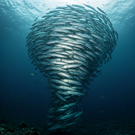
On the fifteenth the forecast was wrong. The surface looked right; the underwater current, at twenty-three metres, was running the other way. We knew within ninety seconds because the schooling jacks at the south face were facing north, which they do not do unless something is forcing them to.
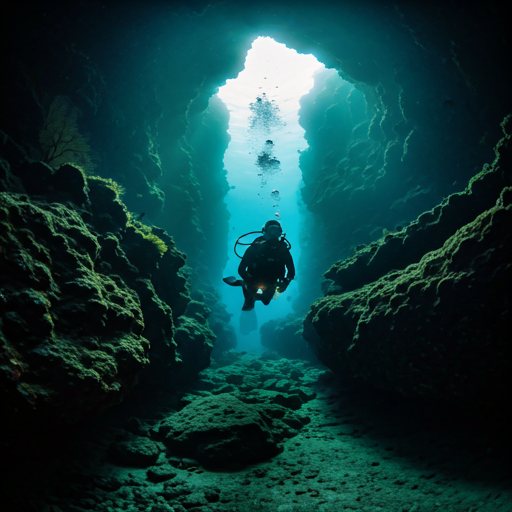
A back-current at Tiger Reef is not a problem. It is information. We took the structure clockwise instead of counter-clockwise, kept the pinnacle on our left shoulder, and used the leeward eddies on the corners as rest stops. The pinnacle's geometry creates four reliable shelters; once you know where they are, you can dive a strong current without working harder than you would in slack.
The dive ended at the surface where the boat had repositioned. Nothing dramatic. But it is the kind of thing that separates a good Malaysian dive guide from a great one — reading the structure first, then the water, then the fish, and adjusting in real time. We logged twenty-five metres, eight knots of swell, current variable. The guests had been told before the dive that we might change the plan; they had not expected to find out why.